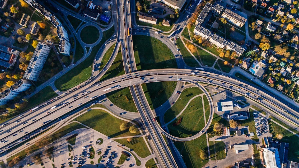
The Science Behind Aerial Photography: Techniques and Tips
Aerial photography is a captivating blend of art and science, using advanced techniques to capture stunning images from above. The most commonly utilized methods are drone photography and manned aircraft photography, each offering unique advantages. Drones, for instance, provide unparalleled accessibility, allowing photographers to reach heights and angles previously deemed impossible. Employing high-resolution cameras with stabilizing gimbals is crucial to ensure clarity and reduce motion blur, enabling photographers to capture intricate details from the sky. Additionally, understanding different lighting conditions and the best times for shooting, such as golden hour, significantly enhances the quality of the images.
To improve your aerial photography skills, consider incorporating the following techniques and tips:
- Planning Your Shots: Before heading out, research your location and determine the best angles and compositions.
- Mastering Your Equipment: Familiarize yourself with your camera settings and drone controls to ensure you can adjust on the fly.
- Utilizing Different Perspectives: Experiment with various heights and angles to add depth and interest to your photographs.
- Editing Your Images: Post-processing can elevate your photos, allowing you to enhance colors and contrast.
Why Aerial Views Transform Our Understanding of Landscapes
Aerial views have revolutionized the way we perceive and understand landscapes, providing a unique perspective that ground-level views simply cannot offer. By capturing the vastness and intricate patterns of the earth from above, aerial imagery allows us to see the relationship between various elements within a landscape, such as natural formations, urban developments, and agricultural fields. This broader perspective not only highlights the beauty of our surroundings but also reveals critical information about environmental changes, land use, and the impact of human activity. For instance, when observing deforestation or urban expansion, aerial views provide clearer evidence of these processes, making them more tangible and easier to comprehend.
Moreover, technological advancements in aerial photography, such as drone technology, have made it easier than ever to capture high-resolution images and videos of landscapes. This evolution has democratized access to aerial views, enabling not just professionals but also enthusiasts to explore their environments from new heights. As a result, unsuspecting features of geography, such as hidden trails or remote ecosystems, are increasingly recognized and appreciated. By utilizing these enhanced visualizations, we can engage in more informed discussions about conservation, urban planning, and climate change, ultimately transforming our understanding and interactions with the landscapes we inhabit.
How to Choose the Right Drone for Capturing Stunning Sky High Snapshots
Choosing the right drone for capturing stunning sky-high snapshots involves several key considerations. First and foremost, assess your photography goals. Are you looking for high-resolution images, steady video footage, or quick aerial surveys? Depending on your needs, factors such as camera quality, flight time, and stability will vary in importance. Additionally, consider whether you require features like GPS positioning for tracking shots or advanced obstacle avoidance systems for safer flying.
Another essential aspect is understanding the regulations surrounding drone usage in your area. Some drones are designed specifically for hobbyists, while others cater to professional needs, often coming with necessary certifications. Take into account the weight of the drone as it affects portability, and the type of control system—options include handheld remotes and smartphone apps. By evaluating these factors and matching them to your photographic aspirations, you'll be well on your way to selecting the perfect drone for breathtaking aerial photography.